GIS Courses Online
The GeoRGB Community is a specialized e-Learning platform offering courses in the field of Geographic Information Systems (GIS). Our focus areas include geology, hydrogeology, contamination, and remediation. We take pride in providing online GIS certificates for all our courses, validating our students’ dedication and learning. Consequently, learners earn recognized credentials that showcase their expertise.
Newest GIS Courses
Free Course
QGIS Geo-Mapping Masterclass. Professional geoscience mapping.
Premium Course
Second Geostatistics Course. Bivariate analysis with R and QGIS.
Premium Course
Conditional Gaussian Simulation for Environmental Projects.
Free Course
Geostatistics Course for Beginners. Creating algorithms with R for QGIS.
Premium Course
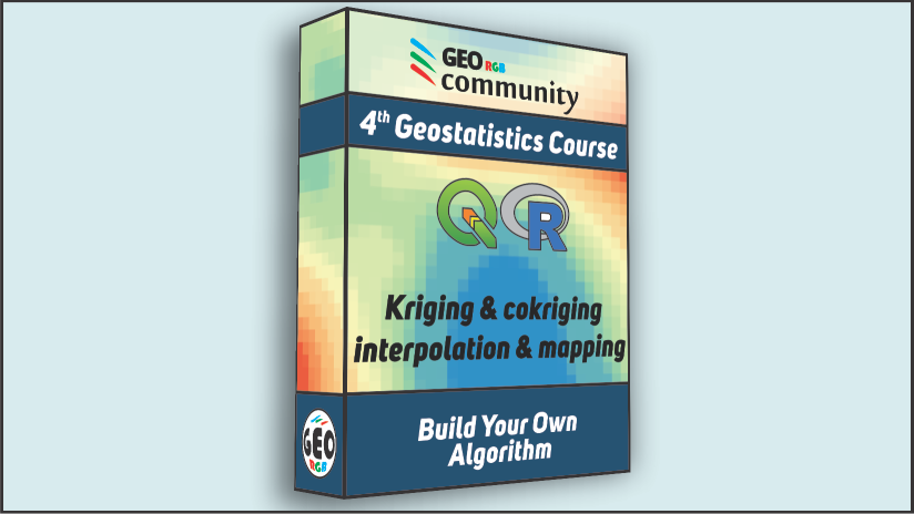
Fourth Geostatistics Course. Kriging and cokriging. Interpolation & Mapping.
Free Course
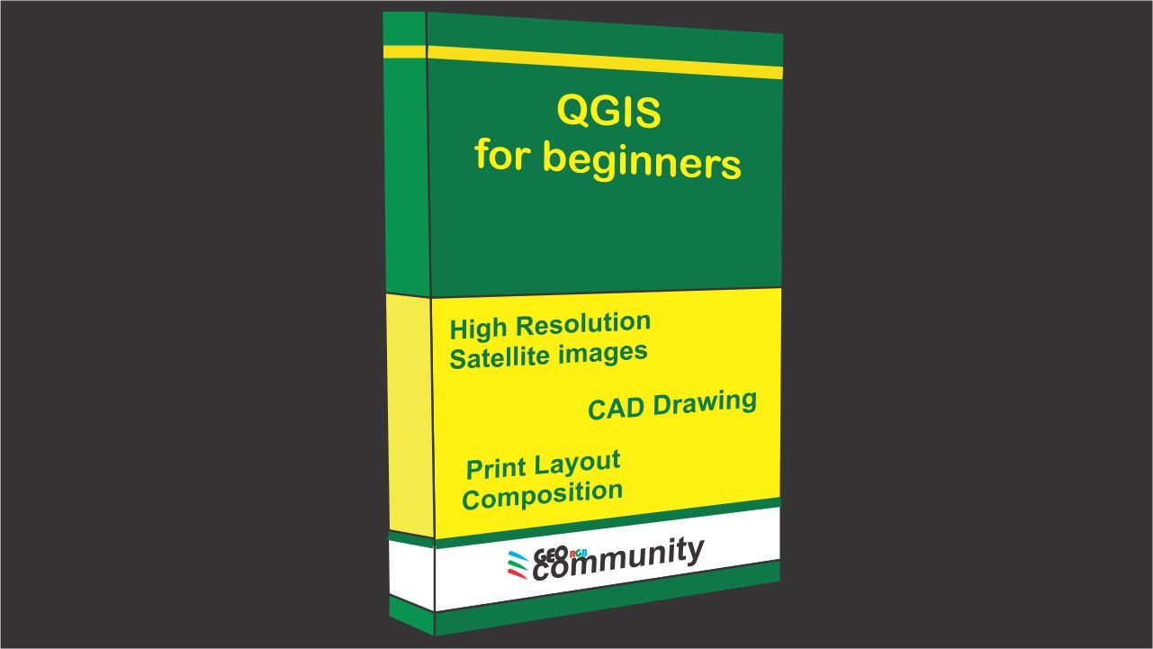
QGIS for Beginners. Download satellite images, CAD drawing and print layout.
Premium Course
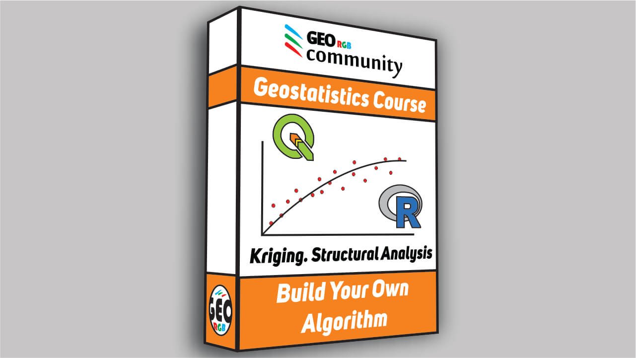
Third Geostatistics Course. Structural analysis for Kriging and cokriging.
Free Course
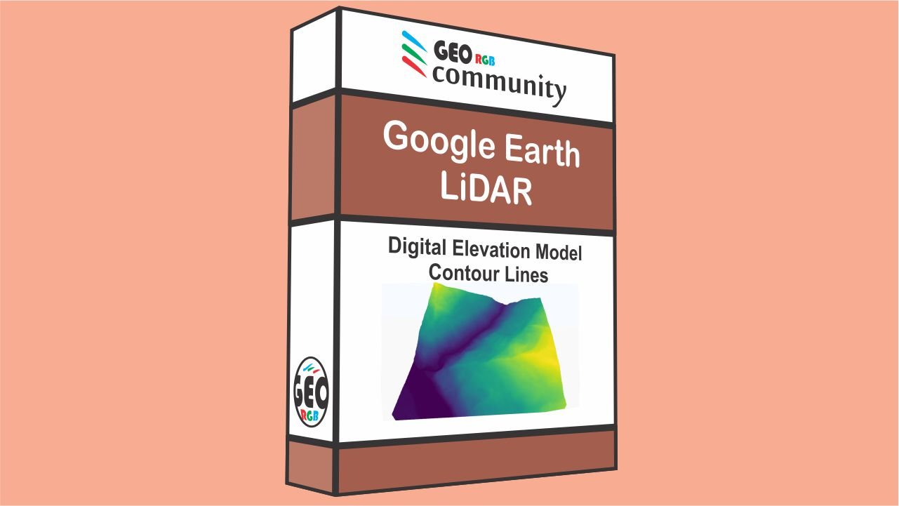
Digital Elevation Model with Google Earth and LiDAR. DEM and Contour Lines with QGIS.
Discover what the GIS courses online topics are
The goal of the GeoRGB Community is to integrate the disciplines of geology, hydrogeology, contamination, and remediation with Geographic Information Systems (GIS). In simpler terms, we aim to gain a better understanding of the planet through the use of remote sensing and spatial analysis. Our focus is on creating a unique educational experience that will provide students with a comprehensive understanding of the world from a different perspective.
Understanding Geology and Hydrogeology is crucial
At GeoRGB, we understand the crucial role that a thorough understanding of geological and hydrogeological systems plays in the success of a project. That’s why our GIS courses are designed to focus on the proper development of conceptual site models, which provide an explanation of the behavior of geological and hydrogeological phenomena.
Our courses cover all aspects of environmental projects, from geological study and piezometric network design to the design and implementation of remediation systems and project closure.
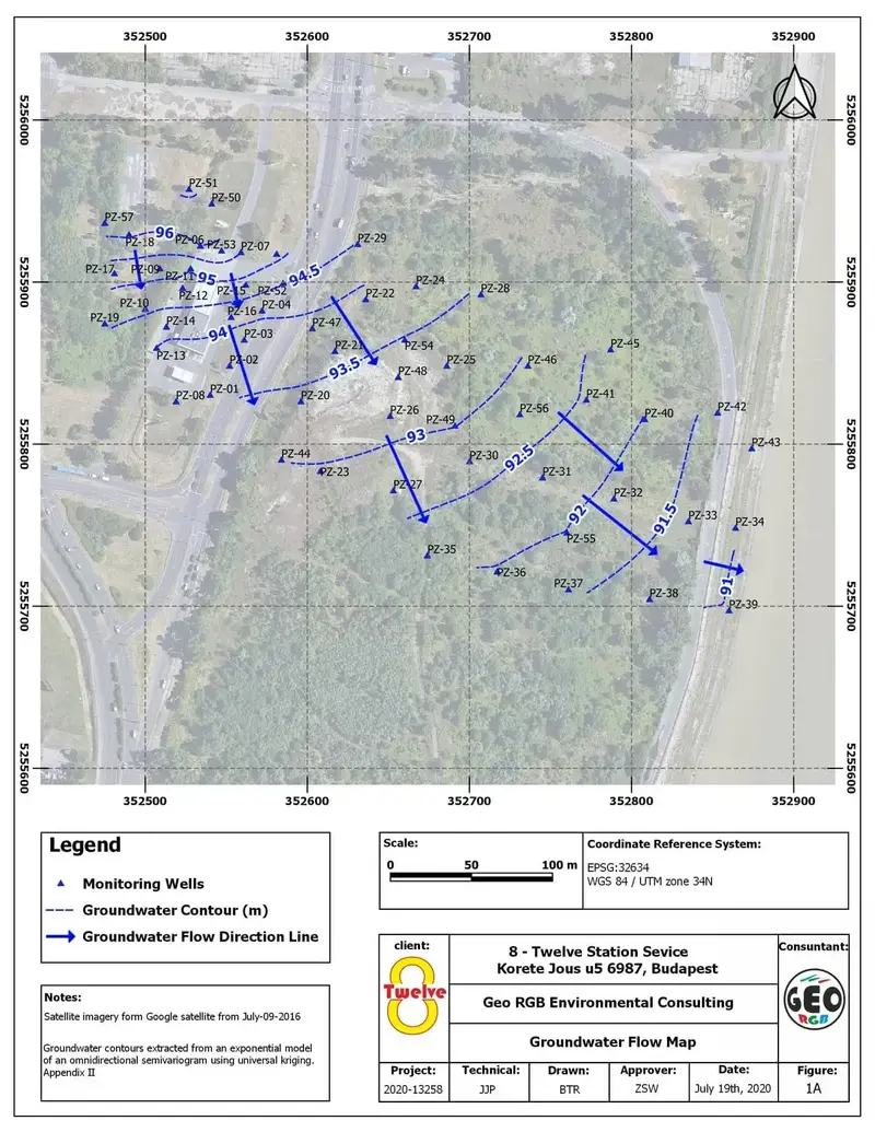
We believe that maps play a crucial role in conveying information related to geology and hydrogeology. A well-designed map can succinctly summarize a wealth of information, making it a powerful tool for communication. At GeoRGB, we are committed to creating professional and informative maps that accurately represent geological and hydrogeological data. This includes groundwater flow maps, contaminant concentration maps, geological risk maps, and more.
In addition to our courses, we also offer resources on our YouTube channel to help students develop their mapping skills, including tutorials on QGIS, a popular open-source GIS software. At GeoRGB, we are dedicated to providing a comprehensive and engaging education experience for students of all levels.
Making the most of Satellite Images
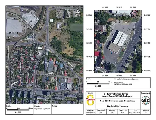
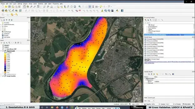
At GeoRGB, we recognize the importance of understanding where to access and how to process satellite imagery in the environmental sector. Our GIS courses integrate the use of satellite images and provide students with the knowledge of where to obtain them and the type of information that can be extracted.
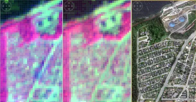
The processing of satellite imagery is a crucial tool in gaining a better understanding of what is occurring on the earth’s surface. Our courses delve into satellite band composition and spectral signature analysis, exploring new and innovative ways to interpret this data.
The increasing affordability of drones and remote sensors has made it possible for individuals to acquire their own spatial data. Additionally, the cost of high-resolution satellite data has been declining over the past five years, leading to an increased demand for specialists in the analysis of satellite and drone imagery. At GeoRGB, we are aware of these developments and are constantly striving to provide innovative and cutting-edge content in our GIS courses. We believe that the possibilities of what can be achieved with satellite imagery are only limited by our imagination.
The importance of the topography
At GeoRGB, we are well-versed in the advancements of LiDAR technology, which has seen a significant decrease in cost in recent years, making it possible for individuals to capture the data through the use of affordable drones and sensors.
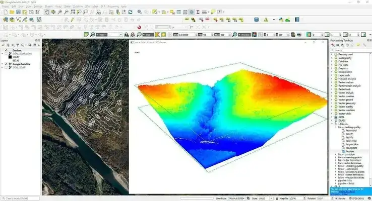
The proper treatment of LiDAR data is crucial for high-resolution topographic analysis, which offers more accurate models and a deeper understanding of the phenomena being studied. In geological and hydrogeological correlations, having reliable information on terrain elevation is essential in avoiding misinterpretation of the data.
We recognize the importance of topography and are dedicated to working with and analyzing LiDAR data. In our GIS courses, students will learn how to create digital elevation models (DEMs) from various sources of information, further enhancing their understanding of this powerful technology.
The credibility with Geostatistical studies and Coding
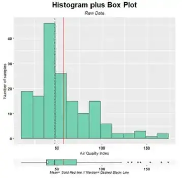
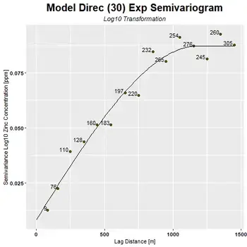
At GeoRGB, we recognize the crucial role that mathematical studies play in lending credibility and veracity to environmental projects. This is why we are dedicated to providing in-depth content on geostatistics and its applications in the GIS world.
Our GIS courses and tutorials offer students the opportunity to become specialists in geostatistics and its application in the environmental sector, even if they do not have prior knowledge or a postgraduate degree in this field.
We are currently focused on using R, a free and open-source software, for our geostatistics studies, and plan to expand our offerings to include Python in the future. Our aim is to provide comprehensive and accessible education on this critical aspect of environmental science.
Additionally, we are in the process of developing a series of videos and tutorials on numerical analysis models for groundwater and contaminant transport, further enhancing our students’ understanding of the role of geostatistics in environmental projects.
Contamination Characterization and adequate Remediation System
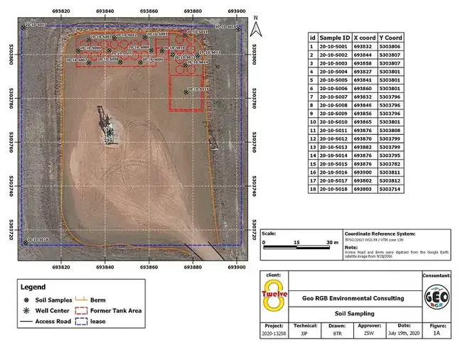
At GeoRGB, our goal is to provide comprehensive and holistic GIS courses and lessons to tackle environmental issues related to contaminated soil and groundwater. Our courses encompass a diverse range of disciplines including geology, hydrogeology, satellite imaging, LiDAR, geostatistics and others, to ensure that our students have a well-rounded understanding of the environmental problems they may encounter.
As professionals in the field, we understand that having a broad range of knowledge is crucial in effectively addressing contamination issues. A single weak area can potentially undermine the entire project, which is why at GeoRGB, we strive to ensure that all aspects are considered and executed effectively.
Our courses are designed to cater to both beginner and advanced students, and we are focused on using free and open-source software R, with plans to integrate Python in the future. Additionally, we have plans to introduce a new series of videos on groundwater and contaminant transport numerical analysis models. Join us in our mission to bring innovative and comprehensive solutions to environmental problems.
What The GeoRGB Community members have to say
The GeoRGB Community e-Learning platform has experienced tremendous growth, with thousands of students registering for our courses. This reflects the high demand for academic training in the field of geographic information systems applied to the environment.
Our YouTube community boasts a significant number of subscribers, with hundreds of daily views. These tutorials cover various topics such as hydrogeology, geology, geostatistics, topography, QGIS, R, and more.
The success of this educational system can be attributed to the high-quality, innovative, and professional content we offer. Additionally, students receive online GIS certificates upon course completion, further validating their expertise.
Below are some testimonials from students who have shared their positive experiences with our online GIS courses.
This course was a great overview of statistics, I learned a lot!
I was struggling using many programs to achieve my goal, thanks to these courses I can do it all in Qgis for free. Knowledge is Power, much appreciated keep up the good work.
Alan
I learnt a lot of things new. But, there 3 tips I loved. Firstly, I could download a high-resolution image in Qgis. Secondly, I understood that Google Earth takes in the count of all the reference coordinate systems in the world, and is not based specifically on one coordinate reference system. Thirdly, In the map layout, I learned to do a margin and an overview. Thank you for this great course.
Great and valuable content for me, your lectures inspire me to move forward, Nice and easy tutorial.
Thank you teacher
In this course, I learned how to integrate QGIS and R , and basic geostatistics
It’s an excellent course. Thanks for sharing your time and expirence. 🙂
Excellent beginner course. You learn QGIS, R and Geostatistics all together. Thank you!
Really useful to start using R code on QGIS ! Thank

