Certificate
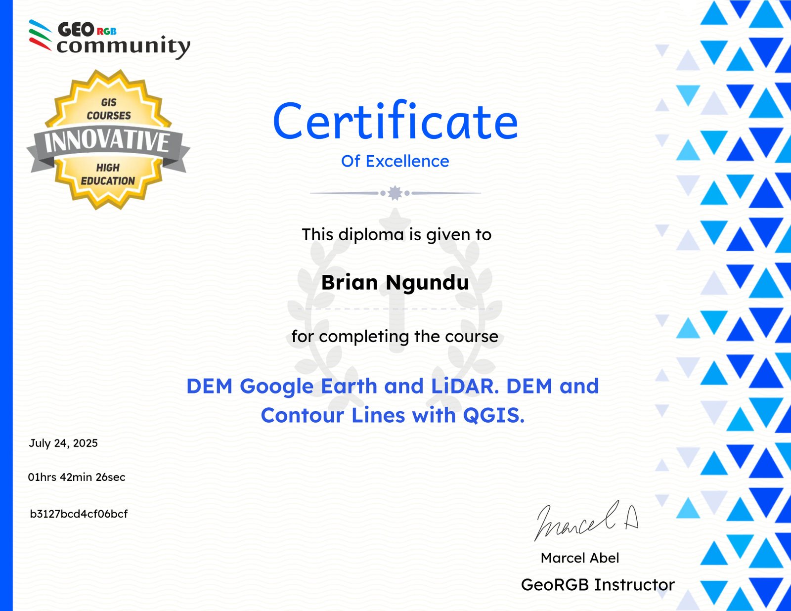
Course completed by
Brian Ngundu
Course Duration
~ 1 hour
Issued
July 24, 2025
Certificate ID
b3127bcd4cf06bcf
Skills
Learn how to export data elevation from Google Earth to QGIS Learn how to change the Referent Coordinate System with data from Google Earth Using QGIS Learn how to create a DEM base on Triangulated Irregular Network (TIN) with QGIS and extract the elevation contour lines Learn how to download and set up LAStools in QGIS Learn how to analyze LiDAR data en LAStool with QGIS Learn how to create a DEM using LAStools in QGIS Learn how to compare different DEM with a visual 3D interpretation How to create a profile section of a DEM How to quantify numerically the differences of 2 DEM How accurate is the Google Earth DEM compares with the LiDAR DEM Other topics related to scale and Google Earth Maps Resolution