4.56
(9 Ratings)

Soil Sampling Techniques Using QGIS.

By Marcel Abel Categories: Soils
Wishlist Share
Share Course
Page Link
Share On Social Media

About Course

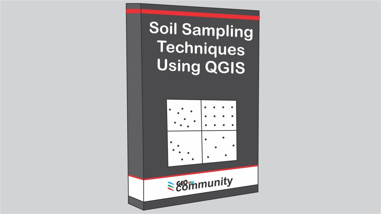
In this tutorial you are going to learn how we can use QGIS to create a sampling campaign for contaminated soils. You are going to see some of the algorithms that QGIS can offer us to simplify the mathematical part of the probabilistic sample techniques.

Two are the main topics:

  1. Probability samples: Probability sampling is defined as a sampling technique in which the researcher chooses samples from a population using a method based on the theory of probability. In this case, each member of the population has equal chance of being selected. Examples, Random sampling, Systematic sampling, stratified sampling and cluster sampling.
  2. Non-Probability Samples: non-probability sampling is defined as a technique in which the researcher chooses samples from a population using a method based on the subjective judgement. Members of the population are selected in non random way. Example, convenience sampling.
Show More

What Will You Learn?

  • Student will be able to create a soil sampling campaign using and free and open source software, QGIS.
  • Learn how to get satellite imagery of high resolution and how to georeferencing
  • Learn how to digitize facilities
  • Learn how to present the data in a map
  • Learn the different probabilistic sampling techniques
  • Learn the non-probabilistic techniques
  • Learn about contaminants an its behavior

Course Content

Lesson 1. Introduction.
This first lesson is going to be an introduction, where you are going to learn some of the elemental definitions about the population, the sample, and the types of sampling techniques. Also, you are going to see how to download a satellite image and create vectorial layers. At the end, we are going to discuss the importance of the spatial component in soil sampling

  • Introduction
    26:18

Lesson 2. Non-probabilistic Sampling.
The main topic is convenience sampling. First, we are going to see how to digitize some petroleum facilities as vectorial layers. Then, we are going to discuss how we can define the sample population according to the contaminant and the potential area of contamination. We are going to see some of the criteria that we can use to select the proper place to pick up the samples. Later, we are going to label the samples and extract the UTM coordinates from the selected locations to create a proper attribute table. At the end, we are going to work on the map composition to create the showed map.

Lesson 3. Probability Sampling.
Today we are going to talk about the probability sampling using QGIS for potential contaminated soils. First, we are going to see how we can work with the Simple Random Sampling technique. We are going to learn two different ways of using this technique. Later, we are going to work on the Systematic Sampling technique. After that, we are going to be focus on the Stratified Sampling technique, where we are going to see a couple of examples. At the end, we are going to learn how to use the Cluster Sampling technique. During the video, we are going to discuss the pros and cons of each of these techniques.

Student Ratings & Reviews

4.6
Total 9 Ratings
5
5 Ratings
4
4 Ratings
3
0 Rating
2
0 Rating
1
0 Rating
Austin Pion
1 year ago
The course was very helpfull
thanks
ED
1 year ago
Good soil sample background
MG
2 years ago
Clear and professional really a very good start point to understand problematics related to sampling
A
2 years ago
Awesome course. I learned a lot.
Luis Rengifo
2 years ago
It was great
Bayilla Geda
3 years ago
The course hast taught both Non-probabilistic sampling and probabilistic sampling techniques in spatial sampling. I thank you for the course.
KD
3 years ago
Very informative and useful guide for practitioners
MW
3 years ago
Overall, pretty good.

Want to receive push notifications for all major on-site activities?