About Course
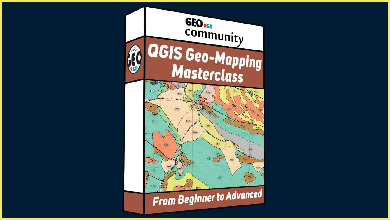
QGIS Geo-Mapping Masterclass
Introduction
Embark on a journey through the realm of digital geoscience mapping with our comprehensive, cost-free QGIS course. Crafted for the GeoRGB community by Marcel, a seasoned hydrogeologist, this program is your gateway to mastering the art of digital cartography.
Objectives
Our course is meticulously designed to equip you with the cutting-edge techniques of geological mapping. It aims to:
– Provide an in-depth understanding of QGIS for digital map creation.
– Impart the workflow for digitizing geological maps for varied applications.
– Foster the ability to transform field data into professional-grade maps and 3D models.
Lessons
The course unfolds over six detailed lessons:
1) QGIS Fundamentals: Downloading, installation, and initial setup.
2) Base Map Essentials: Resource acquisition and base map construction.
3) Digitizing and Databases: Geological contacts digitization and GeoPackage database creation.
4) Polygonization: Detailed mapping of geological units.
5) Map Composition: Assembling the final geological map with all necessary elements.
6) Lidar Integration: Acquisition and processing of Lidar data for 3D visualization.
Course Requisites
Participants should possess:
– A keen interest in geoscience and environmental systems.
– Basic computer proficiency and access to a suitable device for software installation.
– An internet connection to access course materials and tutorials.
Course Achievements
Upon completion, you’ll have achieved:
– Proficiency in using QGIS for professional map creation.
– The ability to translate geological data into digital formats.
– The skills to produce and interpret complex geoscience maps.
Course Recommendation:
Enhance your QGIS skills with these recommended videos, related to previous video tutorials:
– Creating a Political Map of Alberta with QGIS: Explore the intricacies of defining coordinate systems, editing vector layers, and composing professional-quality maps. Link: https://youtu.be/tm977HM7AFQ
– Map Location Composition with QGIS: Learn map composition techniques, including adding raster and vector layers, scale bars, cardinal points, and exporting maps as PDFs. Link: https://youtu.be/AFJ06HiEjac
– QGIS CAD Tools for Editing: Dive into advanced digitizing techniques with QGIS CAD tools, perfect for refining map data and creating precise digital drawings. Link: https://youtu.be/LaVaGGcgO0w
– Creating a Map Using Satellite Images Using QGIS: Discover how to create a final map layout, including adding scale, north direction, grid, and title elements. Link: https://youtu.be/g-i1-pu195g
Moreover, videos 3 and 4 are integral parts of the “QGIS for Beginners” course offered at giscourse.online, covering georeferencing satellite images, digitizing maps, and presenting data in a map layout. Explore these resources to deepen your understanding of map creation with QGIS. Link: https://giscourse.online/courses/qgis-for-beginners/
Join us at GeoRGB Community to unlock the full potential of digital geological mapping, harnessing the synergy of high-quality education and the expansive toolkit that QGIS offers.
Course Content
Lesson 0
-
Qgis Geo-Mapping Masterclass. Introduction.
10:00