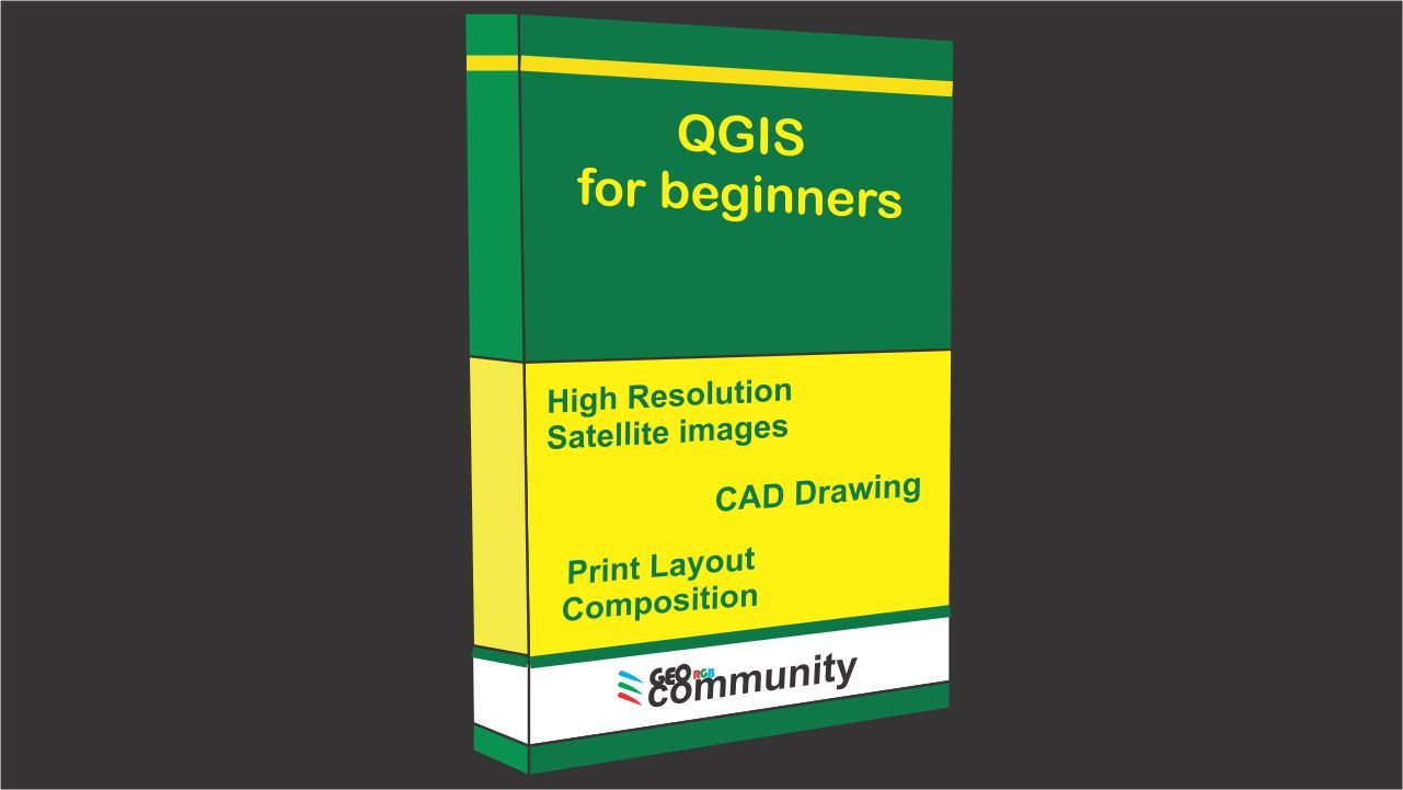
About Course
How to get georeferenced Google Earth high resolution images using exclusively QGIS with Quickmap Service Plugin.
How to digitize a map in QGIS, creating a blueprint.
How to create an excellent map composition using QGIS.
Course Content
Lesson 1.
-
Download and georeference Google Earth images in QGIS with Quickmap Service Plugin
16:46
Lesson 2.
Lesson 3.
Student Ratings & Reviews
Amazing course! This course is resourceful.
Great course.
good course
nice course
Thank you for the very clear explanation, learnt a lot, like to learn more.
Keep going!
A very wonderful and excellent course.
Another brilliant course on QGIS.
Thx
Good practice of QGIS tool
Good course, very basic but it's good for beginners
it was good, and easy to learn
A lot of information. Thanks
100%
excelente, muy buen curso.
it was easy to follow
The training was excellent
I have learnt many things from this course!
The cad tools are properly explained step by step
Each course motivates us with strength and eagerness to continue
If there is one thing to say, it is to thank the teacher for these valuable lessons
If there is one thing to say, it is to thank the teacher for these valuable lessons


