Home
About Us
Contact Us
Courses
Resources
GeoRGB Geostatistics Blog
Geoscience Apps
Instructors
Instructors
Become an Instructor
Login
Student
Become a Student
Login
Courses
Category
Advisor
Geostatistics
Groundwater
Mapping
Premium Member
QGIS
Satellite imagery
Soils
Clear All Filters
Release Date (newest first)
Release Date (oldest first)
Course Title (a-z)
Course Title (z-a)
4.83
(48)
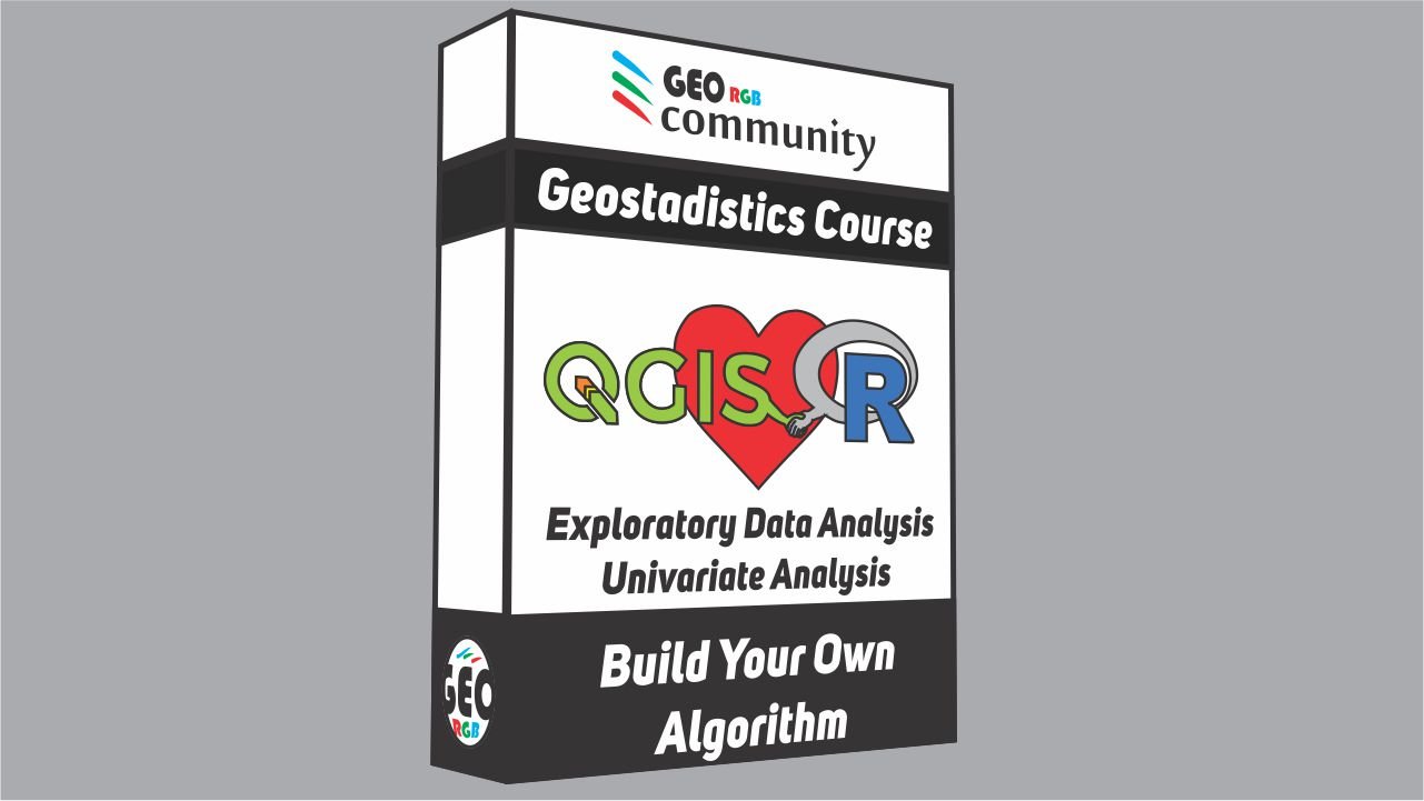
Geostatistics Course for Beginners. Creating algorithms with R for QGIS.
4h 45m
By
Marcel Abel
In
Geostatistics
,
Groundwater
,
Mapping
4.63
(16)
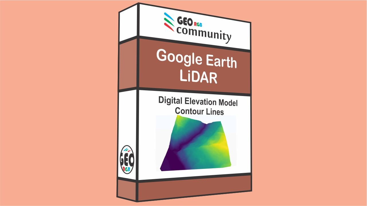
DEM Google Earth and LiDAR. DEM and Contour Lines with QGIS.
01h 42m
By
Marcel Abel
In
Mapping
,
Soils
4.57
(28)
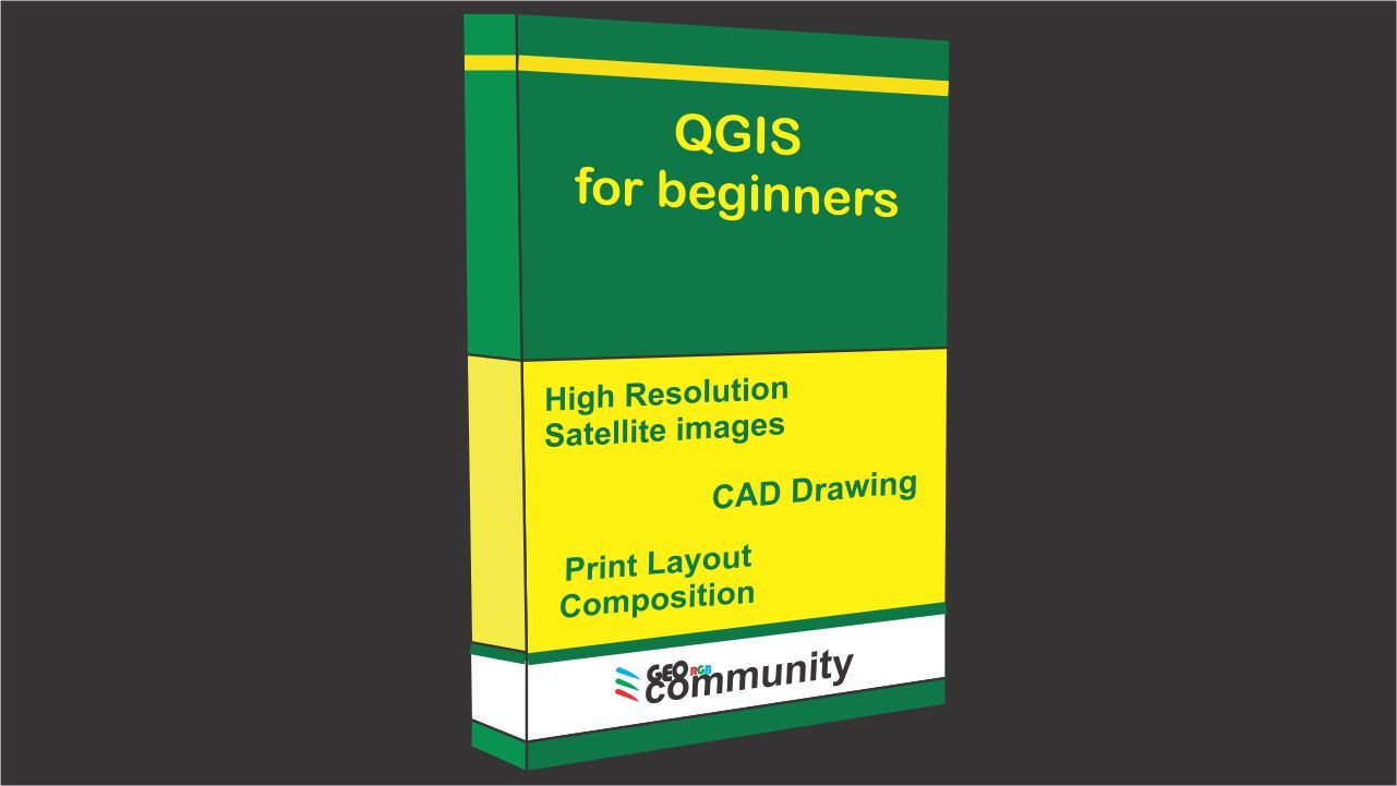
QGIS for Beginners
01h 54m
By
Marcel Abel
In
Mapping
,
Satellite imagery
5.00
(3)
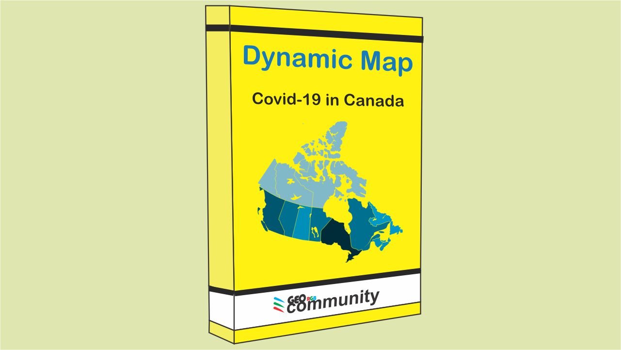
Dynamic Map with animation
01h 08m
By
Marcel Abel
In
Mapping
4.75
(8)
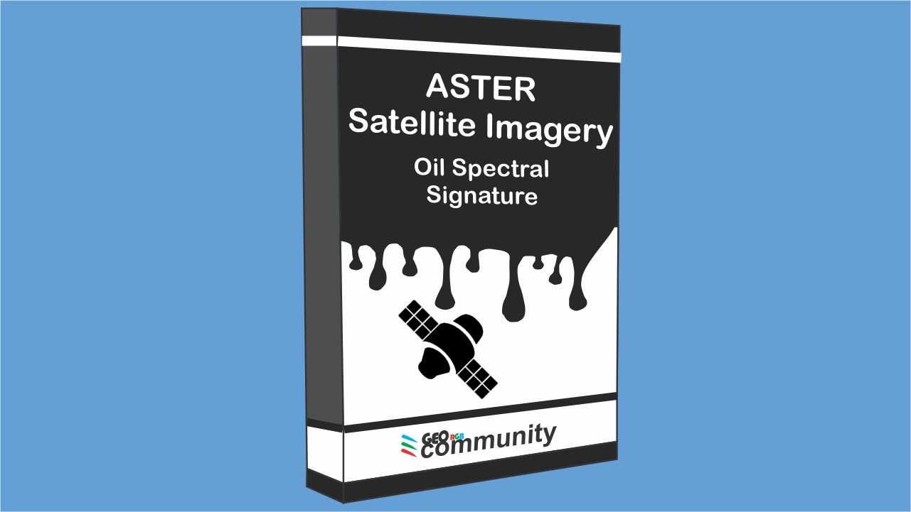
ASTER Satellite Imagery. Oil Spectral Signature.
01h 21m
By
Marcel Abel
4.67
(24)
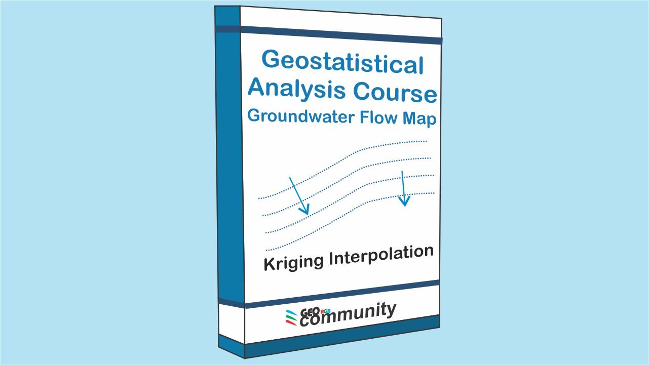
Geostatistical Analysis Course. Kriging Interpolation. Groundwater Flow Map
7h 53m
By
Marcel Abel
In
Groundwater
Page
1
of
3
1
2
3
Hi, Welcome back!
Keep me signed in
Forgot Password?
Sign In
Don't have an account?
Register Now