
About Course
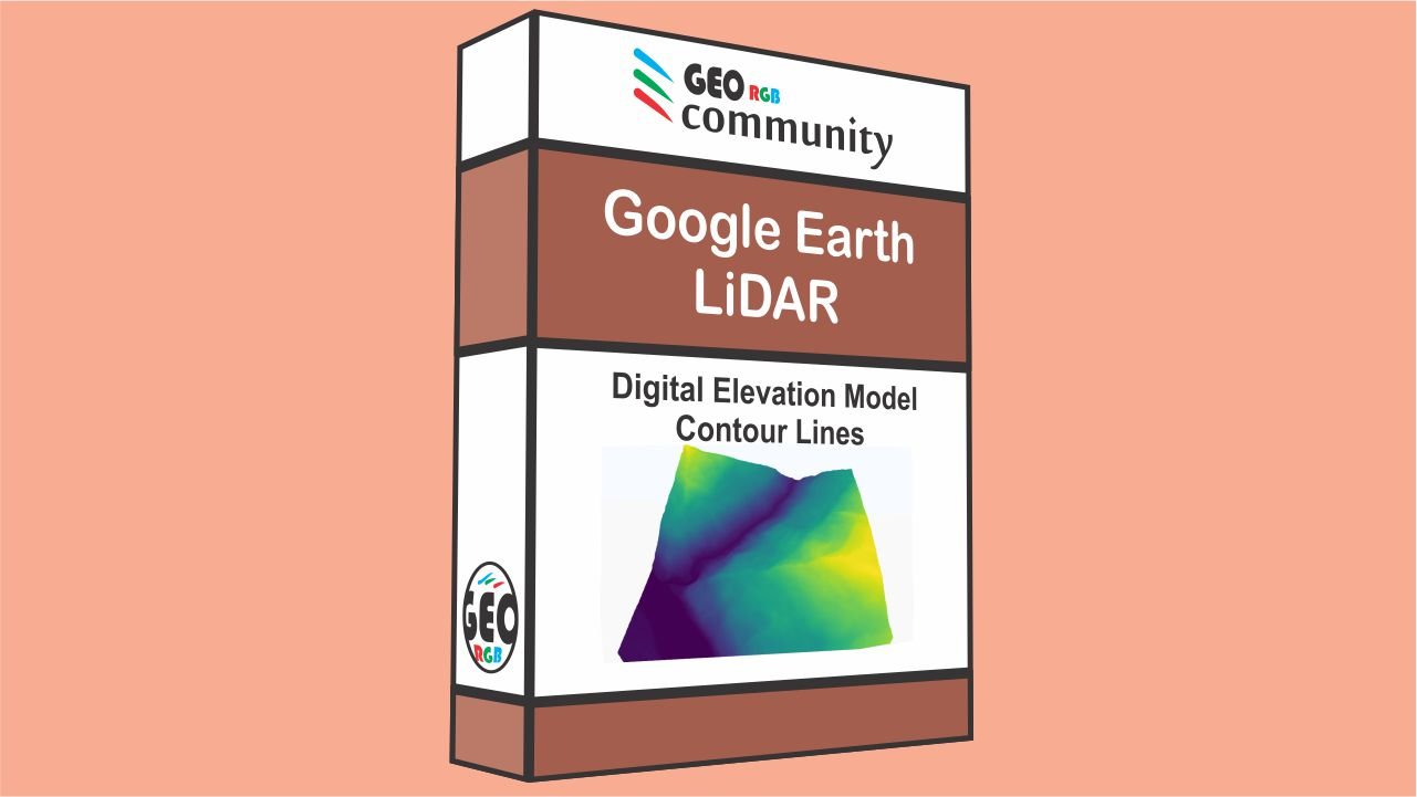
This minicourse consist in 3 video tutorials and the topics are DEM, Google Earth and LiDAR. Firstly, you are going to learn how to create a Digital Elevation Model (DEM) with QGIS. We are going to use data from google Earth Pro. Secondly, you are going to learn how to use LASTool to process LiDAR data. After that, we are going to create a DEM with LiDAR data in QGIS. In addition, you are going to see how to get the contour lines from both models (LiDAR and Google Earth). The final video is going to be a comparison between the two models. We will have a discussion about the accuracy of the ground elevation from Google Earth data and from LiDAR data.
By taking the 3 lessons you will have a great understanding about DEM in general. For example, you will see what is the accuracy of a DEM, created with Google Earth data. In addition, you will get enough judgement to evaluate the pros and cons when using data from Google Earth. Another important part of this course is the LiDAR lesson. Where, you will get the necessary instructions to process data from a cloud of points. Thus, you will use different tools from LASTools to process, analyze and create a DEM with QGIS.
Some of the key words for this course are DEM, Google Earth and LiDAR, as well as QGIS. Also, we would like to recommend you the Geostatistics Analysis Course at GeoRGB Community. You can follow the link below:
Additionally, if you want to watch more content related to DEM using QGIS and free data, we like to recommend you the follow video tutorials:
Course Content
Lesson 1.
-
Lesson 1. Create a DEM and Contour lines from Google Earth on QGIS
28:49